
It's All Good: Drones Coming To Golf
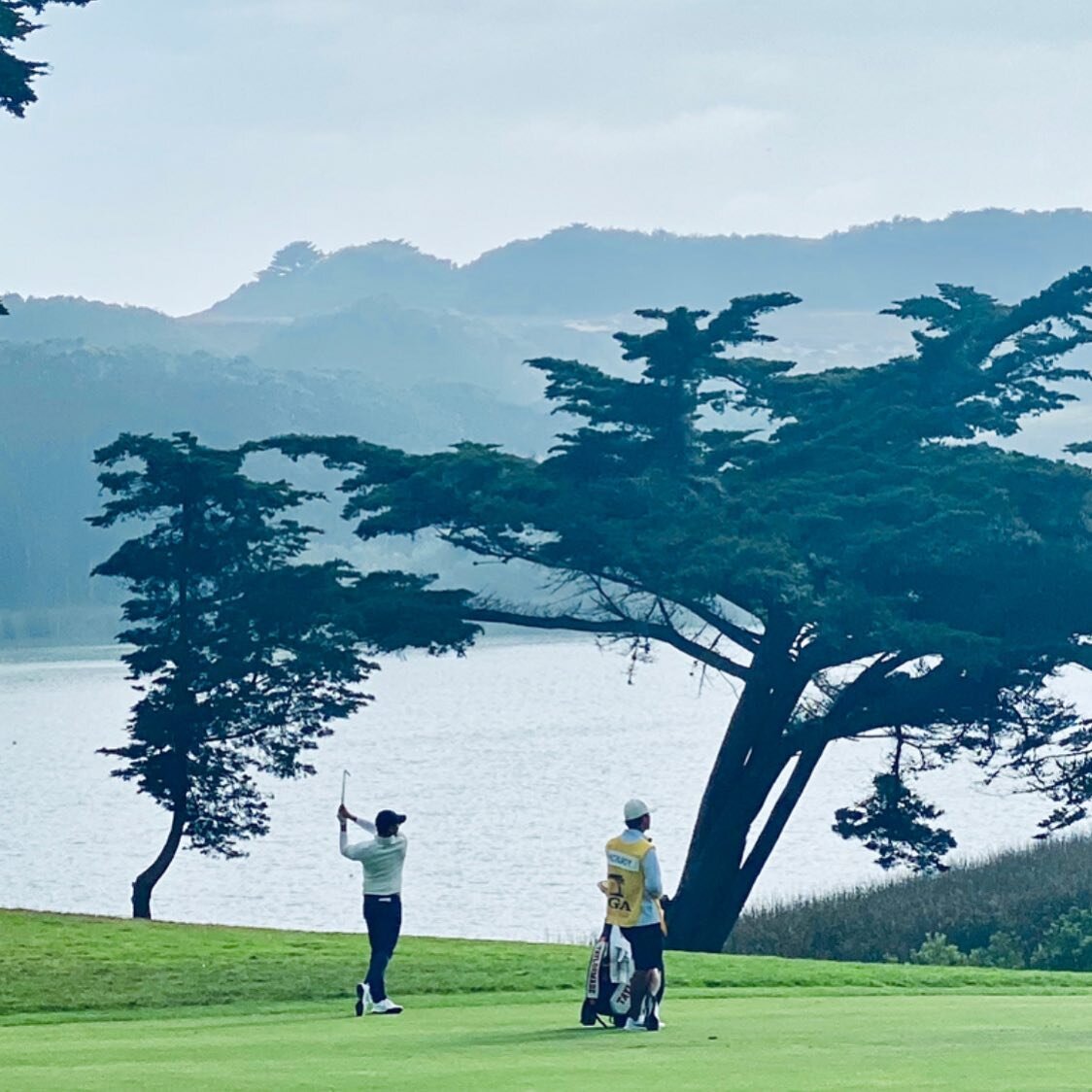
/I'm excited about the many revelations in Matthew Rudy's Golf Digest piece on the increasing use of drones in golf for a wide variety of needs, though the most obvious is their ability to show us courses in ways that highlight their beauty. I'd submit the drone-shot CBS images of Pebble Beach and Augusta National this year as top examples of how we're about to start seeing courses in more fascinating ways.
 There's also this:
Top-of-the-line drone rigs are completely handmade and can cost upward of $30,000, but when an hour of helicopter time—not counting the camera operator or video equipment—runs more than $2,500, the cost analysis starts to make fiscal sense. "You're going to see them used more and more in search-and-rescue situations, and with fire departments—situations where you need more information from above," Short says. "Railroads and oil companies have miles of track and pipeline that need to be inspected. Things that are dirty, dangerous or boring are great uses for drones, we like to joke."
Golf is rarely any of those things, but the sport still makes a rich target for drone entrepreneurs.
Colorado-based DroneMapper builds software programs that create densely detailed 3-D aerial maps. "Let's say you have 100 images from the drone looking down onto your golf course," says Jon-Pierre Stoermer, DroneMapper's chief technical officer. "The software stitches those images together and translates them into a three-dimensional map, complete with topographical elevations. You can zoom right down and be the golfer on foot and see every leaf on the grass."
A video accompanies the piece with images of Pebble Beach's new range along with drone-captured shots of the 7th hole.
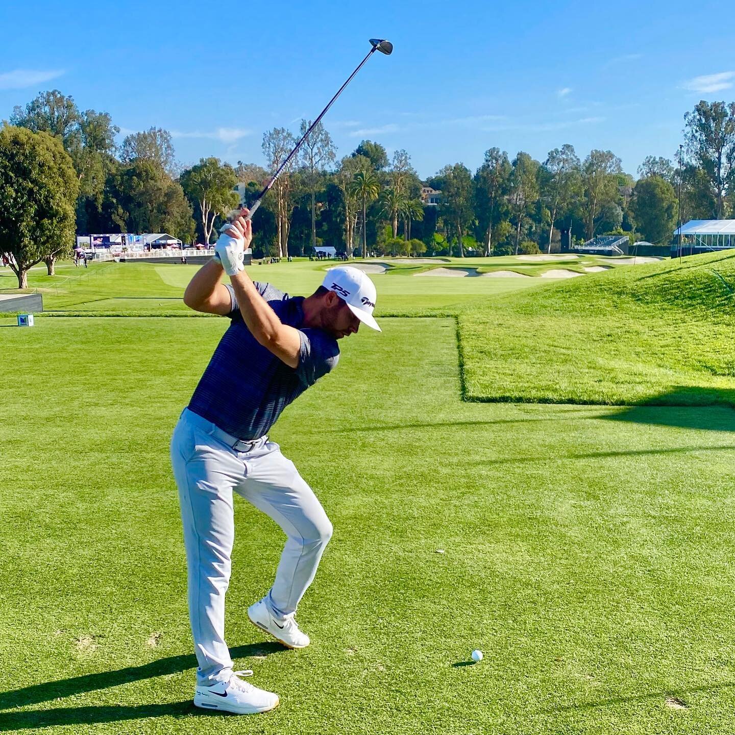
**The above image is not Photoshopped, but a real photo by Dom Furore, Tweets Matthew Rudy.